About Us
Uplift Imagery is an enterprise level solution for aerial photography and videography. Our services include 3D Aerial Mapping, 3D Modeling, Real Estate Marketing Videos, Drone Surveying, Property and Equipment Inspections.
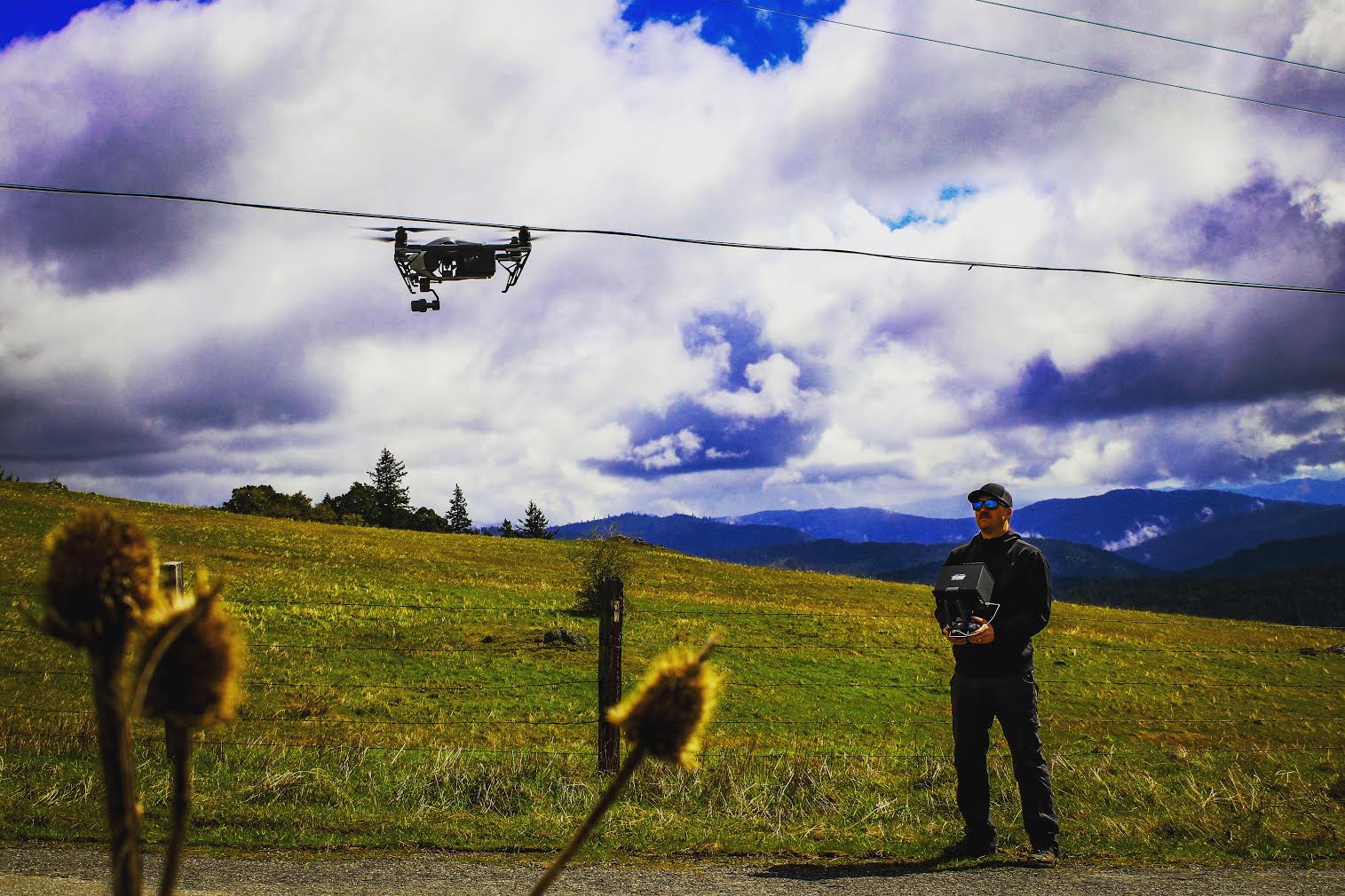
Uplift Imagery is based out of Humboldt County in Northern California. We provide drone imagery solutions for legal cases, real estate, farming, construction, infrastructure, marketing and advertising. Through the use of high performance cameras and drone technology, Uplift Imagery can safely access almost any location for data collection, inspections, modeling and comprehensive geomatics.
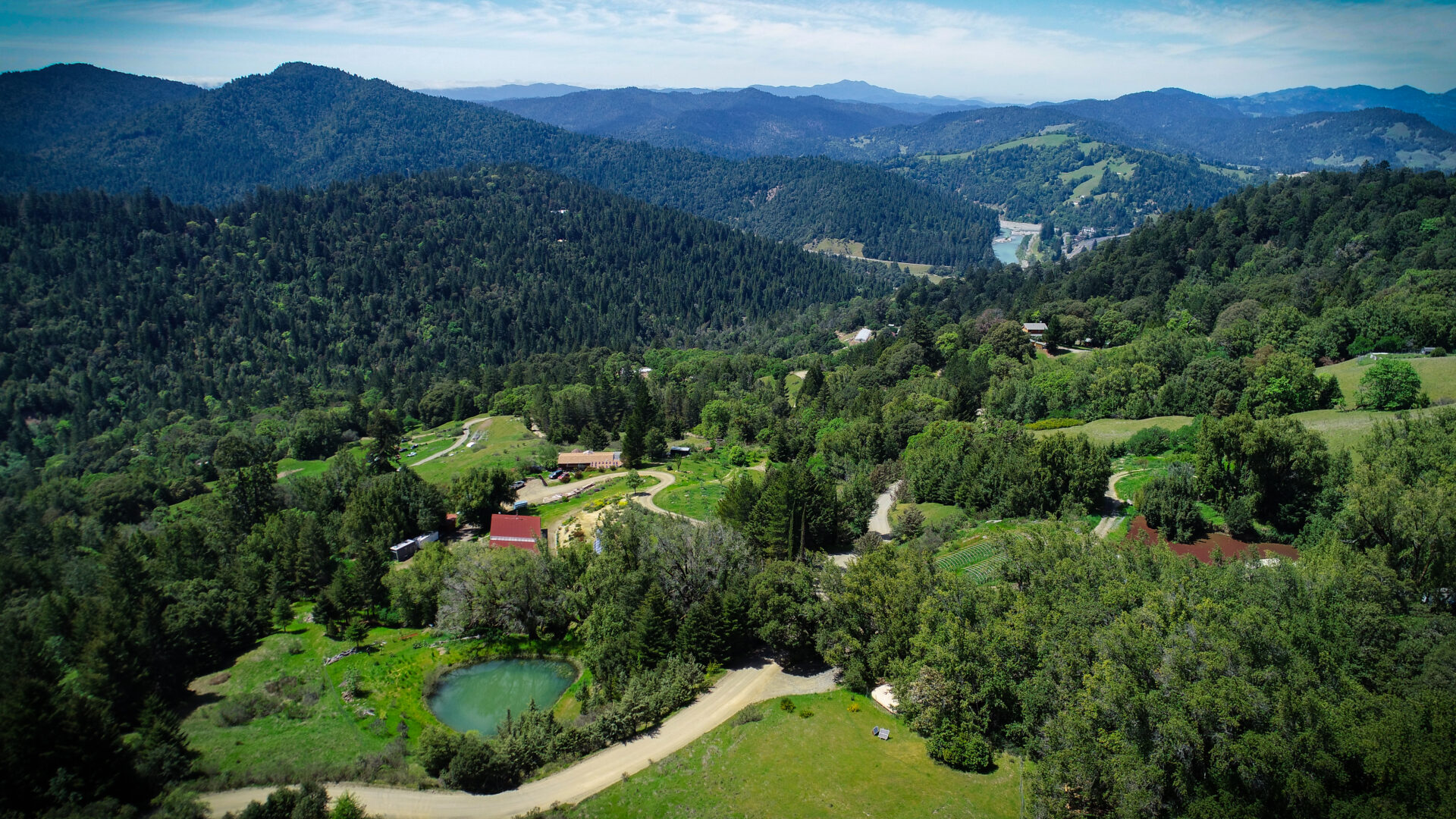
Aerial imaging solutions enable us to inspect your equipment and property from many different perspectives and views, flying overhead from any angle. Compared to the traditional inspection and imaging methods, aerial imagery significantly reduces man hours and project costs, employing smaller staffs and getting projects completed in a matter of hours, rather than days. With our breathtaking HD videos and stunning still imagery of your real estate, we will capture the attention of your audience and attract more potential clients. Uplift Imagery also creates accurate 3D models of your property or job site, with all the design measurements and architectural details. Our company does everything from virtual tours, 3D walkthroughs, floor plans, aerial videos and photos. With our efficient but professional approach, we always deliver the right solutions for every customer requirement, whether it is mapping, inspections, marketing, web, real estate imagery or custom aerial imaging solutions.
Why Use Aerial Imaging for Inspections
With drones flying overhead, you can use aerial imaging to inspect your property and equipment from different angles. This will reduce your project costs and the amount of work needed compared to traditional methods. Inspections can even be turned around in 24 hours.